As FTP grows, we are continually looking for new industries to introduce our software to. Currently FTP is expanding into the agriculture sector in New Zealand and Australia.
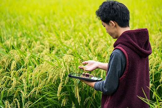
Our IMS platform can be used to optimise data viability across farms and gather data from the multitude of devices being used to manage farming operations. IMS can visualise all this data in a single screen and help farmers make better decisions, maximise their productivity and ensure their farms run smoothly.
FTP is currently seeking partners across the agriculture sector working with both private and government agencies.
Benefits
Historical Data
IMS is more than just a live stream of data. Asset information is automatically recorded and stored. This feature gives you the ability to wind back the clock and see how your data changes over time. The ability to scroll backwards in time allows for a more comprehensive view of your farm’s operations and enables farmers to identify issues from the past and make effective plans for the future.
Make Informed Decisions
IMS empowers farmers to make informed decisions about their operations and resources. The platform allows farmers to visualise all their data in a single frame. It visualises data not only from connected devices on-site, but also pulls data from important external databases and applications to give farmers access to the information that’s important to them. Being able to see in one place all data relevant to pasture crops and livestock lets farmers make critical business decisions quickly and effectively.
Resource Optimisation
With technology continually improving in the agriculture sector, an effective wireless network is key to ensuring that all the tools available to farmers are constantly connected and working efficiently. IMS provides the ability to set up cost-effective wide-area networks in remote locations that can readily integrate the range of different devices to run your operation. The platform allows for effective wireless planning to ensure network coverage, and also incorporates geospatial features to maximise farming efficiency.